
Ontario Crown Land Use Policy Atlas (CLUPA) Manual
Contents
- Introduction
- Glossary of Terms
- Understanding Policy ID
- Understanding CLUPA Policy Reports
- How to Open the CLUPA
- How to Use the Map Layer Tools
- How to Find Areas of Interest and Policy Reports
- How to Confirm a Permitted Land Use
- References

Introduction
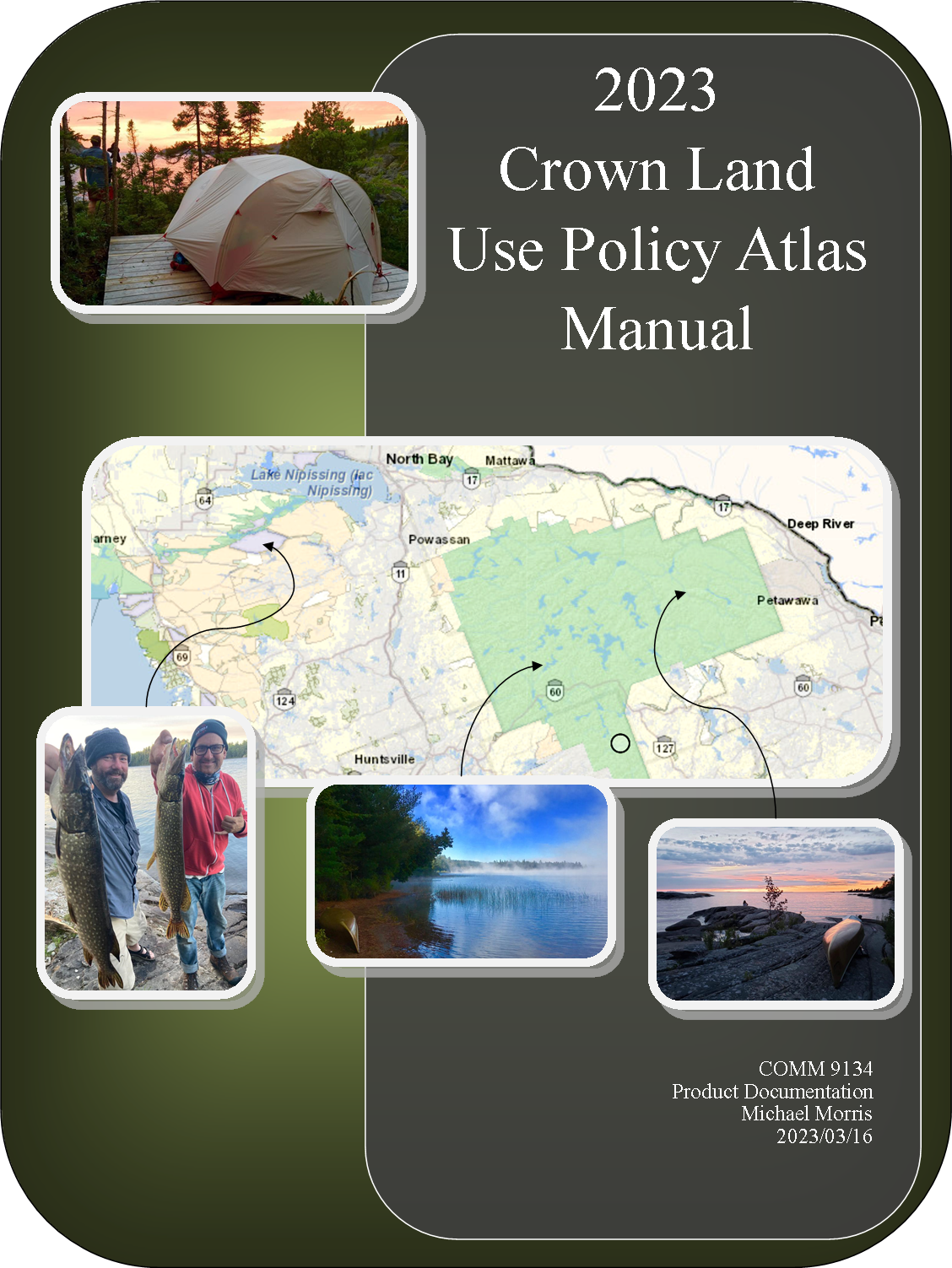
The Crown Land Use Policy Atlas (CLUPA) is an interactive map of Ontario that can display area-specific land use information.
Users can reference the CLUPA to:
1) Find and print area-specific land use policy reports.
2) Print/download maps with layered land use information.
Glossary of Terms
Conservation Reserve: A land use area that pictures geographic areas with protected environmental features but where some traditional use activities are permitted.
Enhanced Management Area: A land use area that pictures geographic areas with specific features or value. The Policy atlas will not include additional information about the specific features.
Forest Reserve: A land use area that pictures areas with protected forestry and historical mining activity.
General Use Area: A land use area that pictures the areas of crown land where most commercial, recreational and conservation activities are permitted that have not already been designated for a different land use.
Provincial Park: A land use area with a strong focus on the long-term protection of natural heritage. Provincial parks are further categorized as one of six classes: wilderness, nature reserve, cultural heritage, natural environment, waterway, recreational.
Layers: A collection of pictured items or features that are overlaid the map as a single group.
Provincial Wildlife Area: Land use areas dedicated to wildlife management for recreation activities such as hunting and wildlife viewing.
Policy ID: I unique combination of letters and numbers associated with specific land use areas on the CLUPA.

Understanding Policy ID
Policy ID is the term used by the CLUPA for the collection of letters and numbers assigned to policy reports.

- The first upper case letter of a Policy ID indicates the designated land use.
- The series of numbers is unique to the policy report for a land area.
- A final lower case letter indicates additional information for Enhanced Management Areas, Provincial Parks and Conservation Reserves.
Land Use Designations in Policy ID
- (C) Conservation Reserve
- (D) Dedicated Protected Area (Far North Only)
- (E) Enhanced Management Area
- (G) General Use Area
- (P) Provincial Park
- (R) Forest Reserve
- (W) Wilderness Area
Policy ID Additional Information
Enhanced Management Areas
- (a) Remote Access
- (c) Cultural Heritage (Far North Only)
- (g) Great Lakes Costal Areas
- (n) Natural Heritage
- (r) Recreation
- (w) Fish and Wildlife
Provincial Parks & Conservation Reserves
- (a) Recommended, non-regulated additions to existing provincial parks and conservation reserves.
- (d) All or part of a provincial park is being deregulated.
- (e) Provincial parks that have expanded in size as part of Ontario’s Living Legacy Land Use Strategy prior to 2014/01/01.

Understanding CLUPA Policy Reports
A CLUPA Policy Report contains 5 types of land use information.
- Area Identifying Details: Policy ID, Area Name, Size.
- Land Description and Intended Uses: A brief summary of the land and policy history.
- Management Direction: A paragraph or table that details the permissions and guidelines for all commercial, resource management and recreational activities in the land area.
- Additional Information: Important notes about the land use area.
- Sources: Provincial legislation and policy source information about the land use area.


How to Open the CLUPA
Instructions: Opening the CLUPA
1.0 With a computer and internet connection, open the Ontario.ca webpage.
2.0 Click on the blue button labeled ‘Use the Crown Land Use Policy Atlas.’
3.0 Read and accept the CLUPA Disclaimer statement.
4.0 Click “I Accept.”
5.0 Complete
How to Use the Map Layer Tools
The CLUPA has four categories of map layers:
- Labels: The place names and Area ID numbers.
- Crown Land Use Data: The land use areas differentiated by colour and boundary lines.
- Thematic Data: Additional boundary and uses data.
- Background Map: A satellite image and topographic map of Ontario.
Tip: the most important information when searching for recreational purposes are the labels and crown land use layers. The background map is helpful for trip planning.
Instructions: Opening the Map Layer Tool
1.0 With a computer, open the CLUPA.
2.0 Select the tab labeled “Map Layers,” located at the top of the page.
3.0 Select the tool labeled “Layers.”
4.0 Read the map data list that appears at he left side of the webpage.
5.0 Complete.
Instructions: Changing Map Layers
1.0 With the layer tool open, click the button next to “Labels” and “Crown Land Use Data” to add a blue check mark and ensure these layers are visible.
2.0 Use the slider tool, located to the right of both map data categories, to adjust the layer transparency.
3.0 Set both sliders to the right-most setting to remove any transparency for the Crown Land use data or labels.
4.0 You are now ready to search the CLUPA for area of interest by land uses. You will be able to see Area ID numbers to generate policy reports.
5.0 Complete.
Instructions: Highlighting the Background Map
1.0 With the Layers tab open, scroll to the bottom of the Map Data list to find the background map layers.
2.0 Slide the transparency slider to the right-most position to minimize the transparency of the background map.
3.0 If the background map does not highlight, adjust leftwards the transparency sliders next to the other Map Data categories to increase transparency.
5.0 Complete.

How to Find Areas of Interest and Policy Reports
The best way to learn more about areas of interest is to use the ‘pan’ and ‘zoom’ tools to center and enlarge the map.
Tip: The ‘Pan’ button does not work as of 2023/03/01. Use the cursor or touchscreen interface to pan the map.
Instructions: Finding Areas of Interest
1.0 Open the CLUPA.
2.0 Adjust the map layers to highlight the information of interest.

3.0 Click the ‘Zoom In’ Button, use the mouse wheel or pinch-zoom on a touch screen device to enlarge an area of interest on the map.

4.0 When using the zoom tool, click and drag the curser to draw a shaded rectangle around an area of interest on the map.

5.0 Continue to zoom into the map until topographic or land use labels appear.
6.0 Complete.

How to Confirm a Permitted Land Use
Instructions: Opening a Land Use Policy Report
1.0 With the CLUPA website open, click on the “Find Information” tab located in the list of tools along the top of the page.
2.0 Use the Zoom tool, to enlarge an area of interest in the CLUPA until one or more policy ID are visible.
3.0 Click on the “Get Land Use Information” tab at the top of the screen.
4.0 When the tool opens on the left side of the screen, click on the button with the circle icon.
5.0 Click on a point on the map that is inside the area of interest.
6.0 Read the summary that appears on the left side of the page to confirm the selection.
7.0 Click the hyperlinks “English” or “French” to generate a land use report in either language.
8.0 Complete
Instructions: Confirming Permitted (Recreational) Activities.
1.0 Using the CULPA, select an area of interest and open a policy report.
2.0 Read the first section of the Policy Report to confirm the Policy ID and area name.
3.0 Use the cursor or touch screen interface to scroll down to the “Management Direction” section of the policy report.
4.0 Read the management direction. This information might be in a paragraph or a table. If there is a table with management direction information read the activities in column 1, permissions in column 2 and additional guidelines in column 3.
5.0 Read the row with information about the activity of interest to confirm if the activity is permitted and if there are any guidelines.
6.0 Complete.

References
Government of Ontario (2023). Guide for Crown Land use Planning retrieved from: https://www.ontario.ca/document/guide-crown-land-use-planning/part-ii-provincial-policies-crown-land-use-designations-120-overview-crown-land-use-designations
Ministry of Natural Resources (2023). Crown Land Use Policy Atlas. Retrieved from: https://www.ontario.ca/page/crown-land-use-policy-atlas
Provincial Parks and Conservation Reserves Act, 2006, S.O. 2006, c. 12. (2018, November 19). Retrieved from: Ontario.ca. https://www.ontario.ca/laws/statute/06p12